


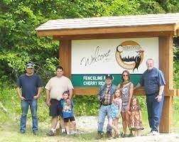
Cherry Ridge Community
Forest Block
Visit Cherry Ridge…
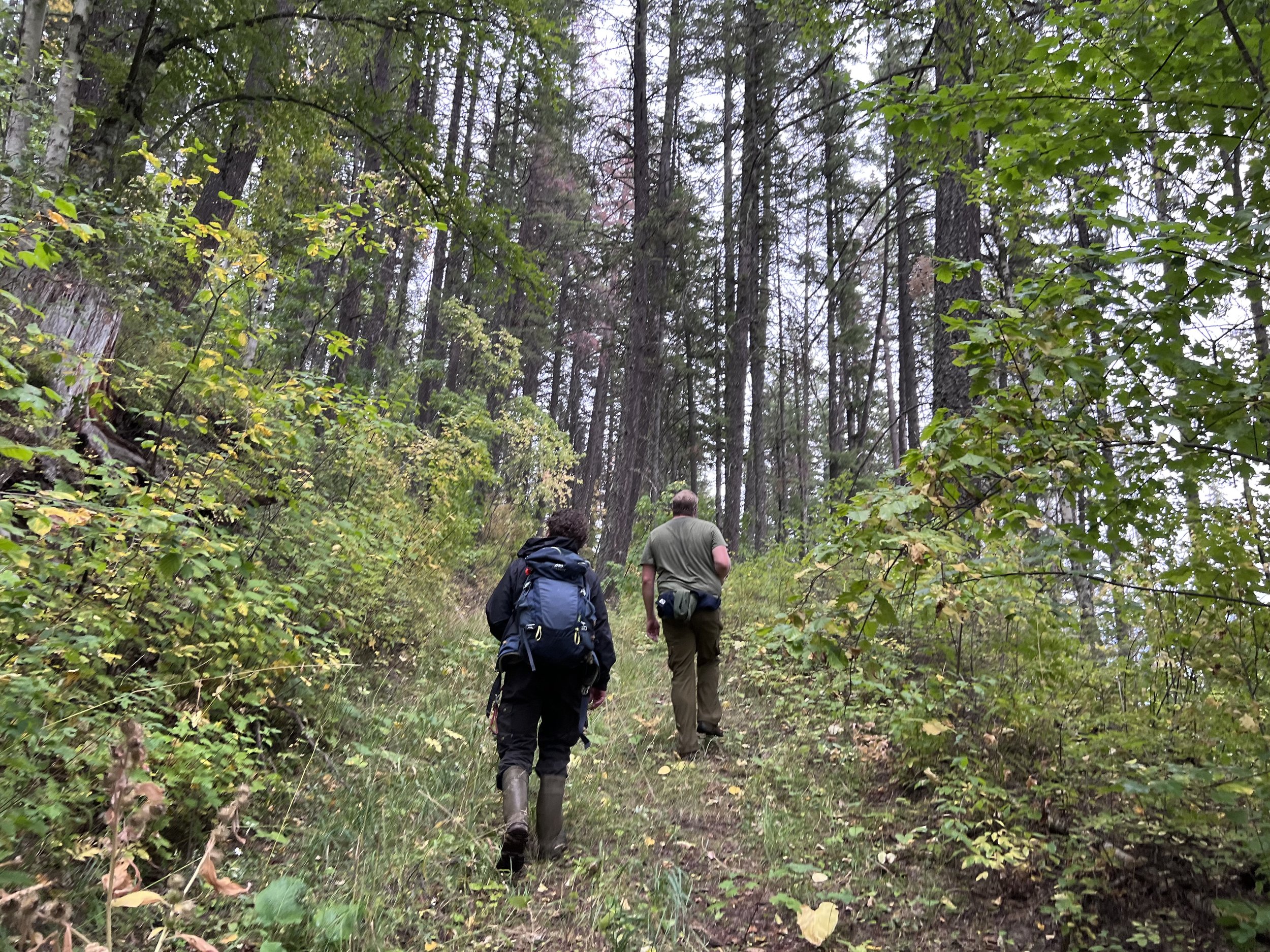
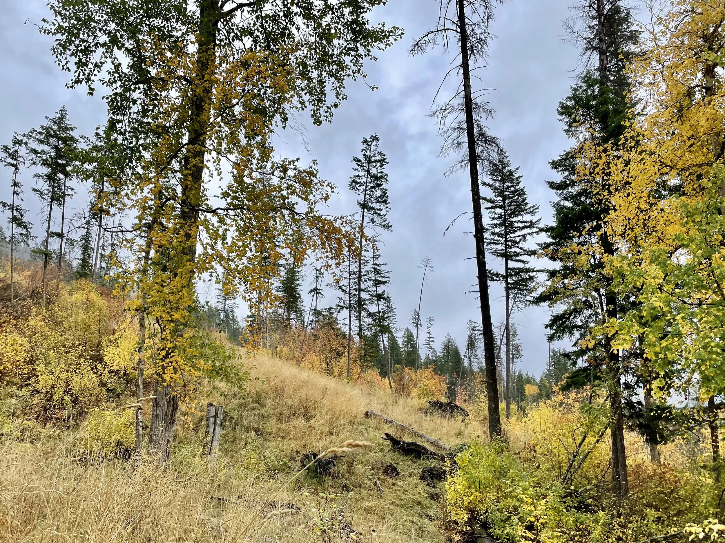
In the heart of Cherryville, Cherry Ridge gently rises up between Sugar Lake Road and North Fork Road. The Cherry Ridge community forest block is found on the southern aspect of this ridge. This forest ecosystem is considered transitional, with species from the Okanagan and Kootenay areas present. Please respect this unique ecosystem, and the adjacent private properties.
To visit the Cherry Ridge Community Forest block, exit Hwy 6 on to North Fork Road. Look to your left for the Community Forest sign. Cherry Ridge Community Forest block may be accessed by Fenceline Road FSR. 4x4 is recommended.


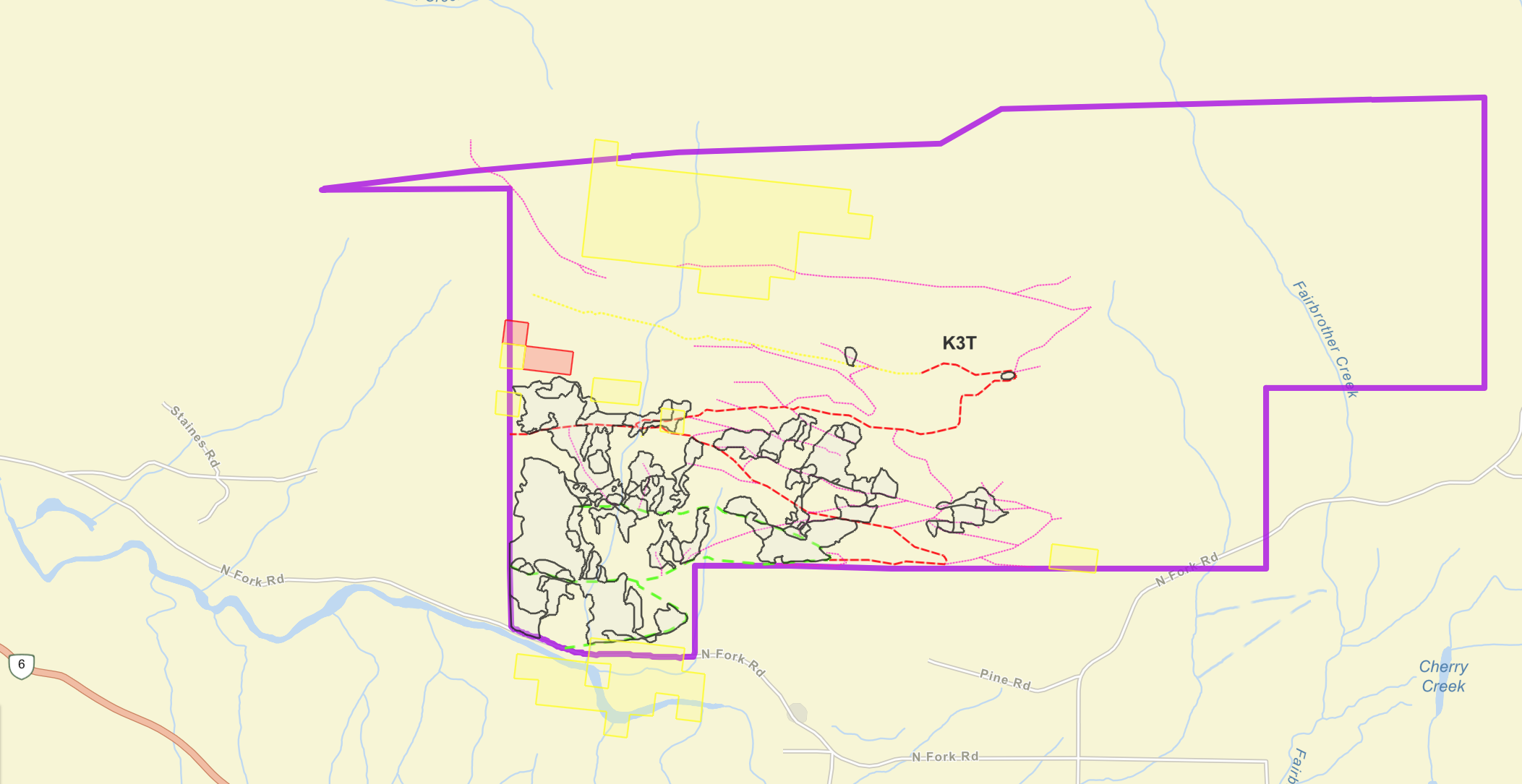
Interactive ARC
GIS Map
Explore roads, trails, cut blocks, tree planting and Old Growth Deferral areas in the Cherry Ridge Community Forest block.

Forest Management on
Cherry Ridge
The Cherry Ridge Forest Development Unit is 731 hectares.
This area has been at the heart of community forestry management efforts in Cherryville since 1973, when concerned citizens spoke out for their water and worried what effects conventional logging practices would have on the Ridge.
Community management continues to the present day!
-
Harvesting with the intention of improving forest health, rather than harvesting for profit has guided operations in the Cherryville Community Forests. Within the years of 2014-2018 the community forests had major Fir Bark Beetle outbreaks. CRMC engaged contractors to remove dead standing, and green attack (larva infested) trees. Removing infected trees is a step towards protected remaining Fir trees from future beetle attacks.
In 2021, a large amount of blown down trees were harvested on Cherry Ridge. If left, these trees would have provided excellent habitat for Fir Bark Beetle, slowed the growth of planted trees and added to fuel load associated with wildfire risk.
In 2022, CRMC monitored Fir Bark Beetle presence. There was hope that the cold (-30’ C) of 2022-2023 winter may have caused some larvae die-off and less infected trees will be found in 2024.
Logging was delayed until spring 2024. Small central blocks were harvested, removing pockets of red dead standing and blowdown trees. Fenceline Forest Service Road will be in use for logging activities.
-
The Habitat Enhancement Project occurred in fall 2024 and spring 2025. An innovative project led by Reece Allingham of Deering Forest Management, worked to improve habitat on Cherry Ridge negatively impacted by historic logging practices. The goal was to increase crown cover (tree density) which reduces snow pack depth and provides winter refuge for ungulates, specifically mule deer.
After field surveys identified and excluded sensitive habitat features, mechanical site preparation and tree planting followed. Many historic trails were also removed during the project with natural drainages and slope reestablished. The project concluded with the planting of native deer browse shrub species.
Many thanks to our grant providers BC Forest Investment Program and the Habitat Conservation Trust Foundation for supporting this important project.
-
Tree planting is planting is planned for spring and fall 2024, and spring 2025. Hot, dry conditions have negatively impacted previous seedling survival rates. Many areas are being replanted to increase tree density.
A fall tree planting event was decided on by CRMC Directors in winter 2023. With the varying climactic conditions we currently experience, this experimental plant is much anticipated. Stay tuned for the results!
For areas that require site-prep, planting will be completed spring 2025.
Below lists the recent history of tree planting on Cherry Ridge. Trees seedlings are a mix of Fir, Spruce, Larch and Pine.
-In 2018, 32,4000 trees were planted on 23.7 hectares
-In 2019, approx. 20,765 trees were planted on 17.1 hectares
-In 2021, 30,042 trees were planted on 24.7 hectares
-
In 2103, Fenceline FSR was improved by grading, rebuilding sections and by the installations of ditches and culverts. In addition, a bypass through private land was created.
In 2019, the roadway connecting Fenceline FSR to Old North Fork, passing through private land, was decommissioned and naturalized.
In 2024 and 2025 many of the extensive trails and historic logging roads on Cherry Ridge were decommissioned and natural water drainage areas were rehabilitated. This was part of the Habitat Enhancement Project, which focused on improving habitat for ungulates. A main access road remains.
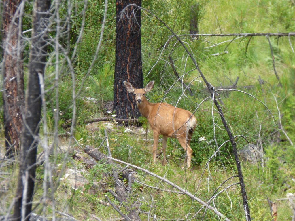
Mule Deer doe in her habitat. Mule deer habitat is managed to support maximum range and least disturbance.
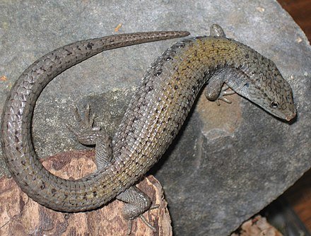
The Northern Alligator lizard has been spotted on Cherry Ridge.